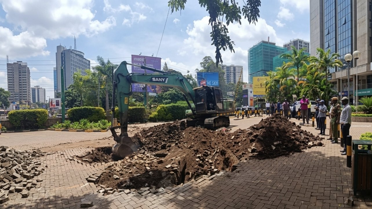

In August 2018, excavators brought down Southend Mall on Lang'ata Road. It was a multi-storey shopping centre in a middle-class neighbourhood, built at considerable cost, occupied by businesses, and visited by thousands of Nairobians. It came down because it had been built on riparian land. What made the demolition notable was not the scale of it. It was the permits. The mall, like most of the buildings that have been demolished in Nairobi's recurring enforcement cycles, could not have been built without approval from a government authority.
That detail surfaces in nearly every Nairobi demolition story. It has not produced a systematic response.
The riparian land issue is where the contradiction is most documented. Kenya's water laws prohibit development within defined distances of rivers and water bodies. The logic behind that restriction is environmental and practical. Rivers require buffer zones to manage flood water, filter runoff, and maintain bank stability. Nairobi's main rivers, including the Nairobi, Ngong, and Mathare, have been progressively encroached upon over the decades. The flooding that now regularly affects large parts of the city is partly a consequence of that encroachment, narrowing the channels available to absorb heavy rainfall.
In May 2024, the Interior Ministry directed the demolition of structures within 30 metres of those three rivers, an operation that affected an estimated 40,000 households. The directive prompted debate in parliament, with several MPs raising questions about the consistency of enforcement, the variation in distances being applied across different sites, and the absence of a clear compensation framework. The government indicated that affected households would receive financial support, and payments were reported to have reached a portion of those displaced by the end of May 2024.
These are operational concerns worth documenting. The separate question, which receives less sustained attention, is how 40,000 households came to be established inside a legally restricted zone in the first place. The available record points to building approvals issued by county and national officials, construction that proceeded without intervention over extended periods, and an enforcement mechanism that arrived well after settlement had become established and investment had been made.
In 2018, then-President Kenyatta stated publicly that the government would pursue not only those who built on restricted land but also the officials who approved the permits. Systematic prosecutions along those lines did not follow. The 2018 demolition programme targeted 4,000 buildings, brought down just over 1,000 before encountering legal challenges, and gradually lost momentum. A new administration launched a comparable programme along the same river corridors six years later.
Part of the structural difficulty is that riparian boundaries are not physically demarcated across most of Nairobi. Without clear markers on the ground, the boundary between permitted and restricted land is effectively invisible to residents, developers, and in some cases approving officials. Different enforcement rounds have applied different distances, which has added to uncertainty about where the legal line sits. The proposed declaration of the Nairobi River Corridor as a Special Planning Area in March 2025, applying a 60-metre buffer zone, represents an attempt to formalise the boundary more precisely. It also means that properties that were within the previously enforced 30-metre zone but outside the new 60-metre zone face a different set of questions about their status going forward.
The Nairobi City County's 2025 decision to create a regularisation pathway for unauthorised developments is a recognition that the informal built environment is too extensive to be addressed through demolition alone. It creates a process for bringing non-compliant structures into the formal system through review and remediation. It does not directly address the permit side of the equation.
A city that demolishes what its own approval system authorised is not facing an enforcement problem in isolation. It is facing a planning coherence problem. The two sides of that equation, what gets approved and what later gets removed, have operated with insufficient connection to each other for long enough that the pattern has repeated across multiple administrations. Addressing it requires changes to how approvals are issued and tracked, not only to how and when demolitions are carried out.
Comments (0)
Leave a Comment
No comments yet. Be the first to share your thoughts!