
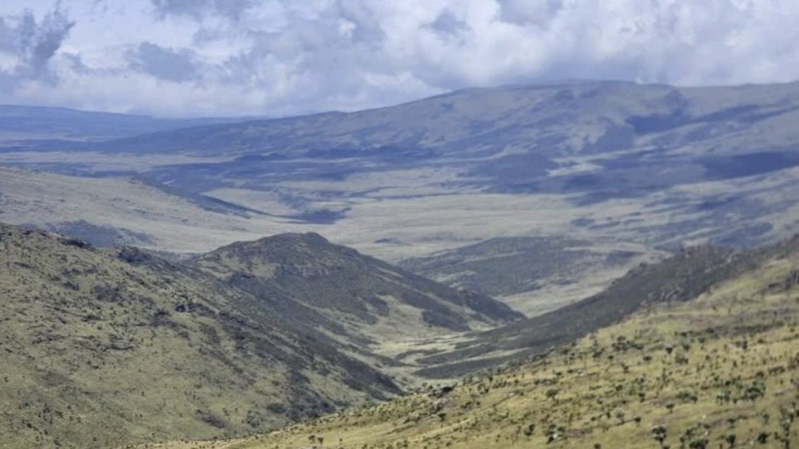

Debate surrounding the proposed road construction through the Aberdare Range has intensified across East Africa. Conservationists argue that the environmental cost of building a high-altitude highway through the reserve far outweighs any local connectivity benefits.
Constructing a major tarmac road through this delicate landscape threatens a highly sensitive ecological zone. The park spans nearly 767 square kilometers of pristine highland forest, bamboo zones, and vast moorland.
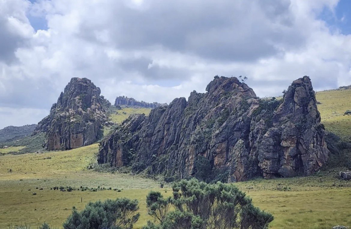
Heavy civil engineers face a punishing environment where the elevation ranges from about 1,800 to over 4,000 meters. Building durable, modern infrastructure at these high, freezing altitudes presents significant layout and drainage challenges.
The targeted area is a primary national water catchment area. It sits directly along the Aberdare Range, feeding several major rivers, including tributaries of the Tana and Athi rivers, which are both critical for Kenya's municipal water supply.
Environmental advocates suggest upgrading existing alternative routes. They point out that a direct, paved corridor cutting across the mountains could disrupt wildlife migration corridors and damage the fragile hydrology of these essential water towers.
Wildlife scientists highlight the immediate impact on native species. The park remains one of the best places in Kenya to spot the rare bongo antelope, an endangered and elusive striped forest species.
Heavy transport vehicles would also encroach on habitats supporting healthy populations of elephants, black rhinos, leopards, and golden cats. More than 250 bird species also rely on these montane forests for nesting and survival.
Beyond complex ecology, the park holds immense historical importance for Kenya and the world. Treetops Lodge, located deep inside the reserve, is where Princess Elizabeth was staying in 1952 when she learned her father had died and she became Queen.
Existing tourism infrastructure relies heavily on maintaining the pristine mountain scenery. Visitors travel globally to see striking waterfalls like Karuru Falls, which is one of the tallest waterfalls in Kenya at around 273 meters.
At higher elevations, the unique moorland zone looks almost otherworldly. It features giant lobelias and groundsels, rare alpine plants that only grow in East African environments, recently studied by local botanist Dr. Gichira.
These rare botanical species depend entirely on the undisturbed, cold weather patterns of the high peaks. Runoff from heavy highway construction could permanently alter the soil chemistry and fragile hydrology required for these sensitive plants.
Opponents of the project have petitioned the National Environment Management Authority (NEMA) to halt the development license. They want the government to shift its resources toward improving existing feeder roads around the park boundaries.
The Kenya National Highways Authority (KeNHA) has previously defended the proposed highway as a vital trade link. Transport officials argue it will reduce travel times between Nyeri and Nyandarua counties, fostering regional development.
However, independent planning reports note that the steep, winding climbs would make the route highly unsuitable for heavy freight transport. Slow-moving trucks would struggle with the severe incline, limiting the actual economic utility of the road.
This ongoing standoff highlights the difficult balance between national development and conservation. Deciding whether to pave across the Aberdare Range will shape how Kenya manages its natural heritage alongside its ambitious infrastructure needs.
With legal challenges pending, the fate of the corridor remains undecided, as both sides prepare for further discussions.
Comments (0)
Leave a Comment
No comments yet. Be the first to share your thoughts!