

Meteorologists are highlighting growing warning indicators regarding a developing weather phenomenon that could intensify later this year.
According to projections shared by the National Oceanic and Atmospheric Administration (NOAA), the weather pattern is expected to gain strength between October and December 2026.
Data released by the agency indicates a high likelihood of extreme oceanic conditions developing during the late months of the year. Forecasts show a greater than 90 percent chance of a very strong El Niño pattern taking shape in the Pacific Ocean region.
Furthermore, ocean modeling places the probability at 69 percent that the upcoming weather cycle could surpass the intensity of any historical event recorded since 1950.
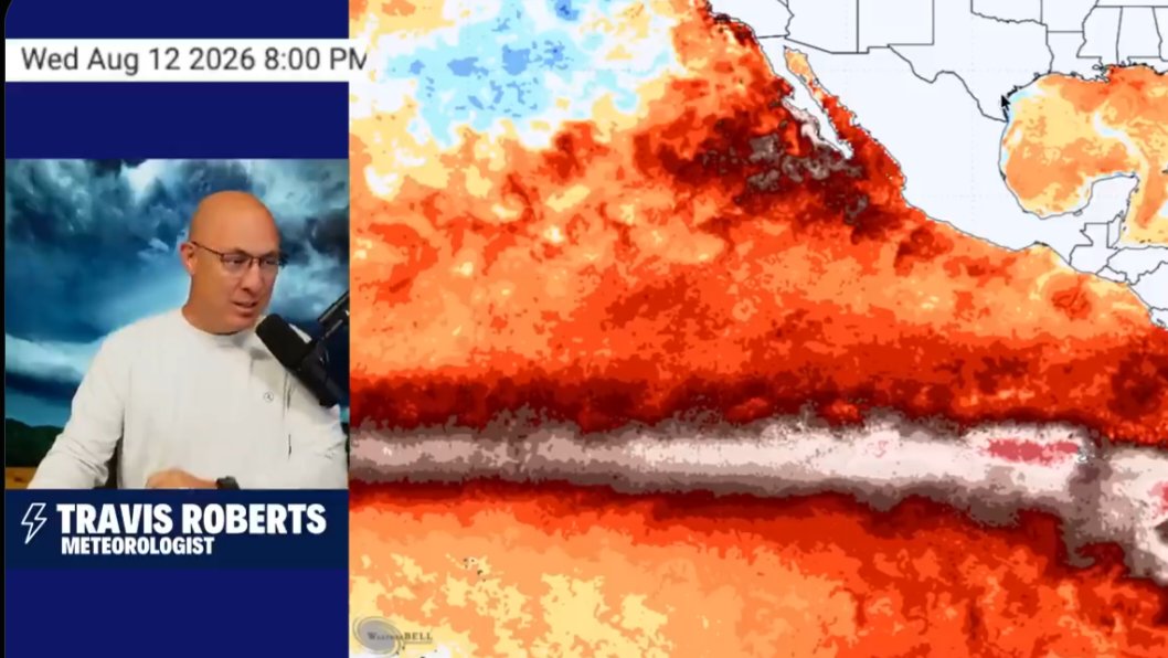
Meteorologist Travis Roberts discussed the projected trajectory models and sea surface temperature anomalies during a detailed update detailing the atmospheric projections.
Sea surface temperature charts dated August 12, 2026, display widespread thermal anomalies along equatorial waters, which aligns with tracking metrics used by global meteorological monitoring bodies.
Weather forecasting models indicate the following key probabilities according to agency
* More than 90% chance of a very strong El Niño
* 69% chance it could be stronger than any El Niño recorded since 1950
Meteorological agencies continue to monitor ocean temperature shifts and atmospheric pressures to evaluate potential impacts as the primary period between October and December approaches.
Comments (0)
Leave a Comment
No comments yet. Be the first to share your thoughts!