
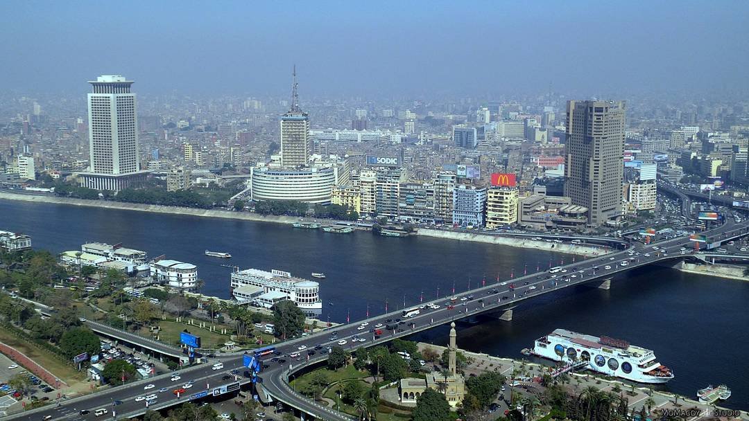

The 6th October Bridge in Cairo, Egypt, continues to hold the position as the longest bridge in Africa. Spanning a total distance of 12.7 miles (20.5 kilometres), the massive elevated highway serves as a central transportation corridor for the Egyptian capital.
The infrastructure crosses the Nile River, effectively connecting the eastern and western sections of Cairo. Constructed to ease severe urban congestion across the city, the elevated causeway accommodates heavy daily commuter traffic moving between opposite sides of the metropolitan area.
Civil engineering projects of this scale remain rare across the continent, where long-span water crossings and extended urban viaducts require extensive long-term investment.
The structure relies on reinforced concrete piers and continuous deck spans designed to carry multiple lanes of vehicular traffic high above existing city streets and the riverbed.
Beyond its role as a river crossing, the elevated corridor functions as a multi-ramp arterial road that links major municipal districts directly to central business zones.
Construction of the road system took place over several phases, progressively expanding its reach across the river and into surrounding urban neighborhoods.
The bridge takes its name from the date marking the start of the 1973 Arab-Israeli War. Over the decades, it has remained an integral component of Cairo's overarching road grid, carrying tens of thousands of passenger cars, public transport buses, and commercial vehicles every day.
Despite ongoing municipal transport developments and new bridge proposals across various African nations, no other completed structure on the continent has yet surpassed the total physical length of this Egyptian elevated highway. It continues to stand as a landmark achievement in regional civil infrastructure.
Comments (0)
Leave a Comment
No comments yet. Be the first to share your thoughts!