
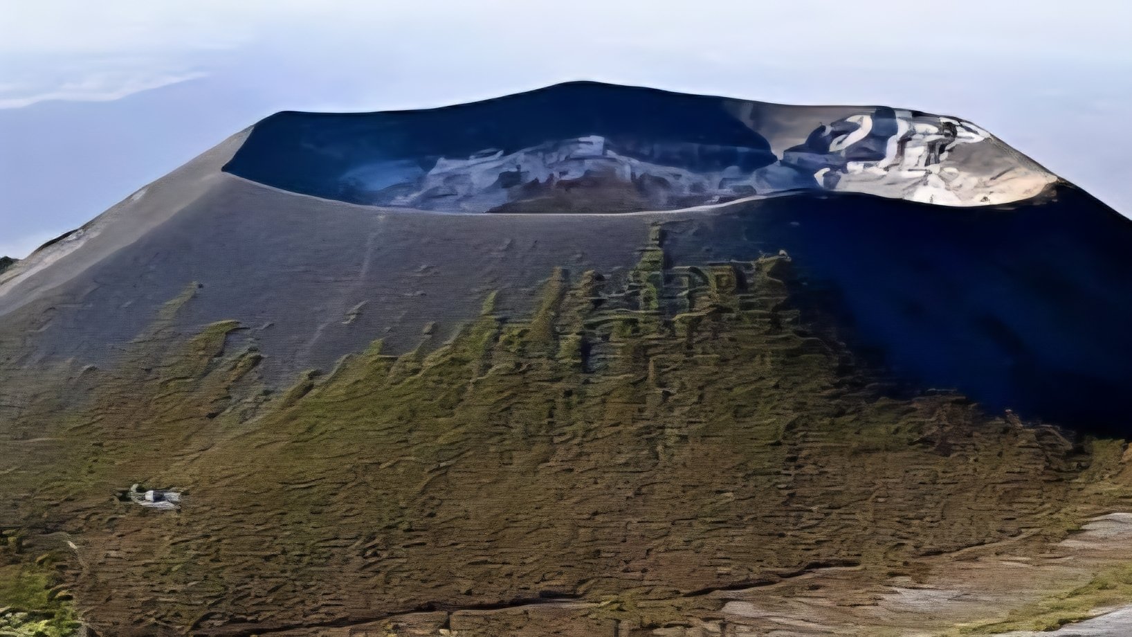

Tanzania's Ol Doinyo Lengai volcano continues its steady, low-level eruptive phase, according to recent field reports and remote sensing data. Ongoing satellite observations confirm persistent minor activity inside the northern summit crater, where small lava flows are actively reshaping the crater floor.
The mountain sits along the active East African Rift (EAR) zone, where moving fault lines drive tectonic displacement. This land displacement sends magma up through the exact same mountain ranges that were initially formed by these deep geological shifts over millions of years.
Ol Doinyo Lengai is unique as the only active volcano globally that erupts natrocarbonatite lava. This highly unusual volcanic material is rich in sodium, potassium, and calcium carbonate, but it contains less than 25 percent silica by weight.
Unlike standard basaltic or silicate magmas, which burn at temperatures exceeding 1100 degrees Celsius, this carbon-rich lava remains relatively cool, but it erupts at temperatures between 500 and 600 degrees Celsius, giving it a fluid oil appearance.
The liquid magma appears black or dark brown, but it cools quickly and turns to a distinctive bone-white color within days, when exposed to atmospheric moisture. This rapid transformation alters the aesthetic and physical landscape of the mountain summit.
Monitoring the volcano requires an integrated approach combining ground installations and satellite radar. Geoscientists track these changes using Global Navigation Satellite Systems (GNSS) to measure precise ground movements, which helps in understanding the underlying magmatic plumbing system.
Recent research using instruments on the flanks of the volcano has revealed periods of transient surface deformation. Satellite systems, including Sentinel-1, have tracked localized ground swelling and subsidence, which indicate pressure fluctuations within the shallow magma reservoir.
This magma reservoir is situated roughly 1000 meters beneath the active summit crater, but when pressure increases within the reservoir, the land surface bulges upward. Conversely, a decrease in pressure causes the volcanic cone to deflate and sink.
The ongoing low-level activity remains confined mostly to the northern summit crater, which features several hornitos, or small volcanic cones. These active vents regularly release small tephra ejections and localized carbonatitic lava flows across the floor.
Seismometers placed around the volcano have also detected subtle tremor signals originating from different depths. These seismic signatures offer researchers a rare glimpse into the complex movement of gases and fluid magma deep within the volcanic structure, if monitoring continues.
The active northern crater reaches a depth of over 200 meters, while the southern crater remains entirely inactive and filled with volcanic ash. Volcanic activity at the site has historically fluctuated between these gentle effusive periods and violent explosive eruptions.
While the current activity represents a steady and minor phase, the volcano poses a continuous long-term risk to surrounding communities. Ash emissions can compromise local tourism, livestock grazing pastures, and regional aviation corridors across East Africa, although present levels remain low.
The geological data gathered from the summit provides critical insights into the rift dynamics of East Africa. Understanding these volcanic mechanisms allows engineers and planners to better assess tectonic risks for future regional infrastructure projects, when designing networks near active zones.
Comments (0)
Leave a Comment
No comments yet. Be the first to share your thoughts!