
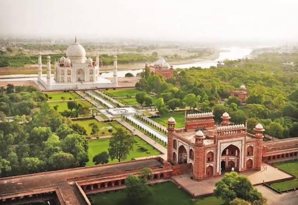
The architectural preservation of the Taj Mahal continues to draw intense global attention from structural engineers and heritage experts. An aerial perspective of the historic monument, which was recently highlighted in a publication that underscored the complex relationship between the ancient structure and its modern urban surroundings.
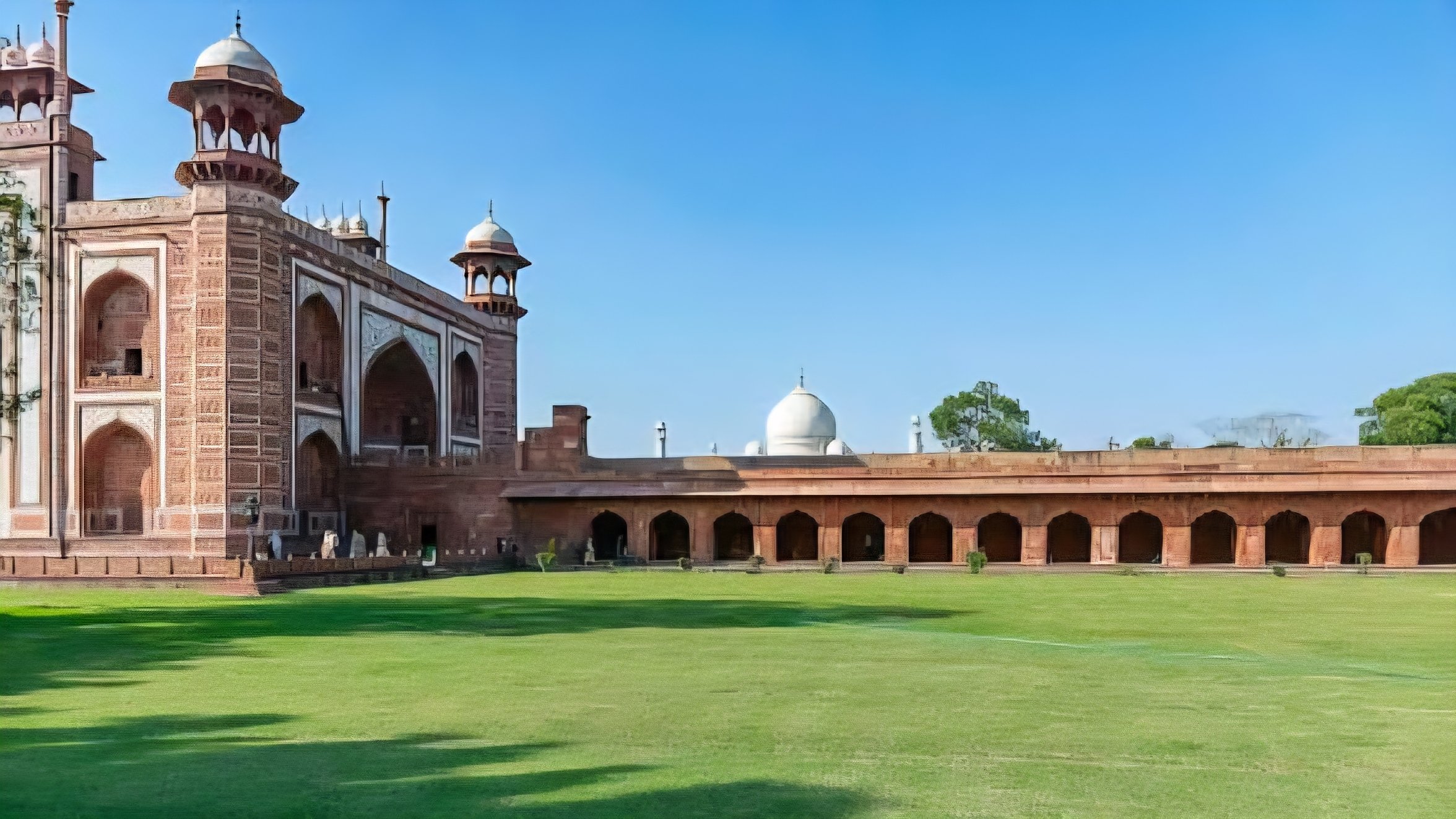
Constructed in the 17th century under Emperor Shah Jahan, the mausoleum remains a premier example of Mughal engineering. The entire complex sits on a large platform on the banks of the Yamuna River, but maintaining its structural integrity requires continuous technical monitoring and specialized conservation interventions.
A primary engineering focus involves the unique foundation system that supports the massive white marble structure. The monument rests on a series of deep timber caissons, which are also known as well foundations, filled with stone and lime mortar to withstand the weak alluvial soil strata.
These timber foundations depend heavily on the moisture levels maintained by the adjacent river. Environmental experts have noted that the receding water levels of the Yamuna River present long-term challenges, when the surrounding water table drops and exposes the wood to dry rot.
The United Nations Educational, Scientific and Cultural Organization (UNESCO) designated the site as a World Heritage landmark in 1982. This status has intensified international research efforts, including the implementation of a Geographic Information System (GIS) to meticulously map structural wear and manage the vast amounts of architectural data.
To address surface deterioration, the Archaeological Survey of India (ASI) oversees ongoing cleaning and repair operations. Technicians frequently apply specialized fuller's earth mud-pack treatments to the exterior marble, which lifts deep-seated pollution stains without causing abrasion to the delicate floral inlays and Arabic calligraphy.
The original construction required approximately 20,000 skilled artisans and laborers over two decades. The main dome reaches a height of nearly 73 meters, but it is flanked by four minarets that were deliberately built with a slight outward lean to protect the central tomb during potential earthquakes.
Academic teams from institutions like the University of Notre Dame have utilized advanced three-dimensional scanning technologies to document the monument. This research provides digital blueprints that are vital for future structural stability analyses, especially as environmental factors and heavy tourist foot traffic increase physical wear.
Strict regulations now govern the immediate vicinity of the monument to curb environmental degradation. Industrial activities are banned near the complex, and local authorities permit only non-polluting vehicles to operate within the immediate protective zone, although regional air quality remains a persistent concern for conservators.
Structural monitoring also involves advanced techniques such as electromagnetic sensing to detect sub-surface damage within the stone masonry. This non-destructive testing allows engineers to identify internal moisture accumulation and structural shifting long before visible cracks appear on the exterior Makrana white marble facade.
Managing the physical impact of millions of annual visitors requires strict crowd controls. Timed entry ticketing and designated walkways help distribute weight loads across the fragile stone pavements, ensuring that this historic marvel survives for future generations without losing its structural equilibrium.
Preservation initiatives continue to adapt as global climates shift and local environmental factors evolve. Balancing historical authenticity with modern engineering solutions remains the core objective for the international engineering teams tasked with protecting this irreplaceable piece of global architecture.
Comments (0)
Leave a Comment
No comments yet. Be the first to share your thoughts!