
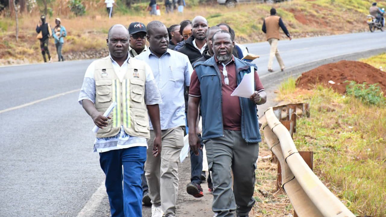

The Kenya National Highways Authority (KeNHA) has moved a step closer toward executing the planned realignment of the Nithi Bridge following a comprehensive site inspection along the Makutano-Embu-Meru highway corridor.
Director General Eng. Luka Kimeli led a delegation of technical officers to assess the existing infrastructure, evaluate terrain conditions, and review preliminary survey work on the approach roads.
The state agency confirmed that the civil works will focus on correcting steep gradients, removing hazardous sharp turns, and establishing a modern crossing over the valley.
President Ruto previously pledged that the government would fund the long-awaited project, which carries an estimated cost of Sh7 billion.
The technical framework prepared by engineers includes an 880-metre-long elevated structure rising nearly 100 metres above the valley floor, alongside 2.77 kilometres of revamped approach roads.
Geotechnical investigations are currently progressing to establish baseline soil and rock characteristics, which will inform the final structural designs and foundation depth for the bridge piers.
Surveyors are mapping out private parcels of land along the designated right-of-way to facilitate compulsory acquisition through the National Land Commission (NLC).
The project site, located roughly 48 kilometres from Embu Town, has registered numerous fatal traffic crashes over the decades due to restrictive road geometrics and limited sight distances.
Engineers aim to limit the maximum gradient along the approach sections to eight percent, a significant departure from the steep incline that currently forces heavy goods vehicles into dangerous descents.
Local administrative officers and field teams have already held public participation forums in Meru and Tharaka Nithi counties to brief residents on land acquisition procedures and project expectations.
Full possession of the required land parcels will clear the path for the primary contractor to begin full-scale earthworks, excavation, and structural pouring.
Once completed, the elevated bridge will become one of the longest river crossings in Kenya, serving as a key link for trade, agriculture, and passenger transit between lower Eastern and Central regions.
The agency maintains that the structural redesign remains the primary focus for eliminating the notorious blackspot status that has long defined the highway section.
Construction crews have set up temporary camps near the site to prepare for heavy machinery deployment as final administrative approvals and compensation disbursements near completion.
Comments (0)
Leave a Comment
No comments yet. Be the first to share your thoughts!