
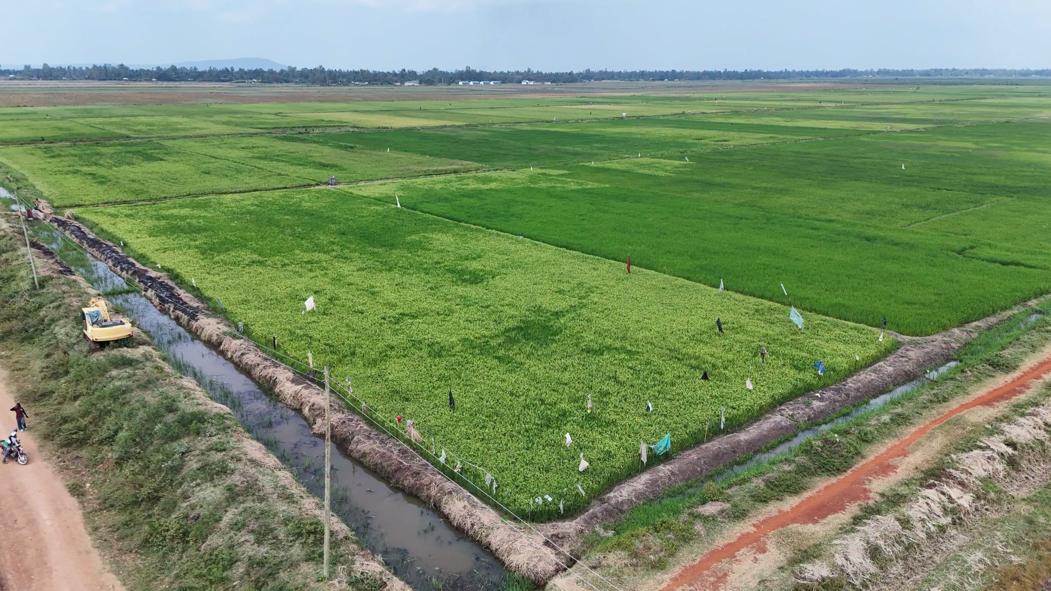

Agricultural expansion in western Kenya has pushed land under cultivation at the Bunyala Irrigation Scheme from an initial 534 acres to approximately 3,246 acres.
The facility serves as a key flagship project under the Economic Pillar of Kenya Vision 2030 (KV2030), supporting about 3,489 farming households in the region.
Current annual output from the acreage stands at an estimated 12,000 metric tonnes of paddy rice. This volume contributes directly to the domestic supply, while generating local field employment and raising agricultural incomes across participating communities.
Infrastructure operations in the area are undergoing a structural shift through the Lower Nzoia Irrigation Development Project (LNIDP).
Engineering civil works focus on transitioning the current water distribution setup from pump-fed mechanisms to a gravity-fed network along the lower River Nzoia basin.
By removing continuous electrical pumping requirements, the transition aims to lower crop production costs and improve total water-use efficiency.
Moving to a gravity intake will allow engineers to expand water delivery to additional fields beyond the existing cultivated blocks.
The scheme has extended its operational reach across the wider agricultural value chain. Local field activities now encompass certified seed production, mechanized land preparation, crop storage, commercial milling, and market distribution networks.
Flooding along the lower River Nzoia has historically disrupted planting schedules in the low-lying plains. Integrated civil structures within the ongoing drainage works provide flood mitigation, protecting farmland and surrounding residential settlements during heavy seasonal rains.
Diversification initiatives are being integrated into the cropping calendar to complement primary rice yields. Introducing alternate rotation crops helps preserve soil quality, manage field pests, and offer growers secondary revenue streams outside the main harvest cycles.
Water resources for the expansion continue to be drawn directly from the River Nzoia channel. The overall layout of channels, dykes, and control gates aligns with broader national efforts to build climate resilience among agricultural communities in flood-prone basins.
Comments (0)
Leave a Comment
No comments yet. Be the first to share your thoughts!