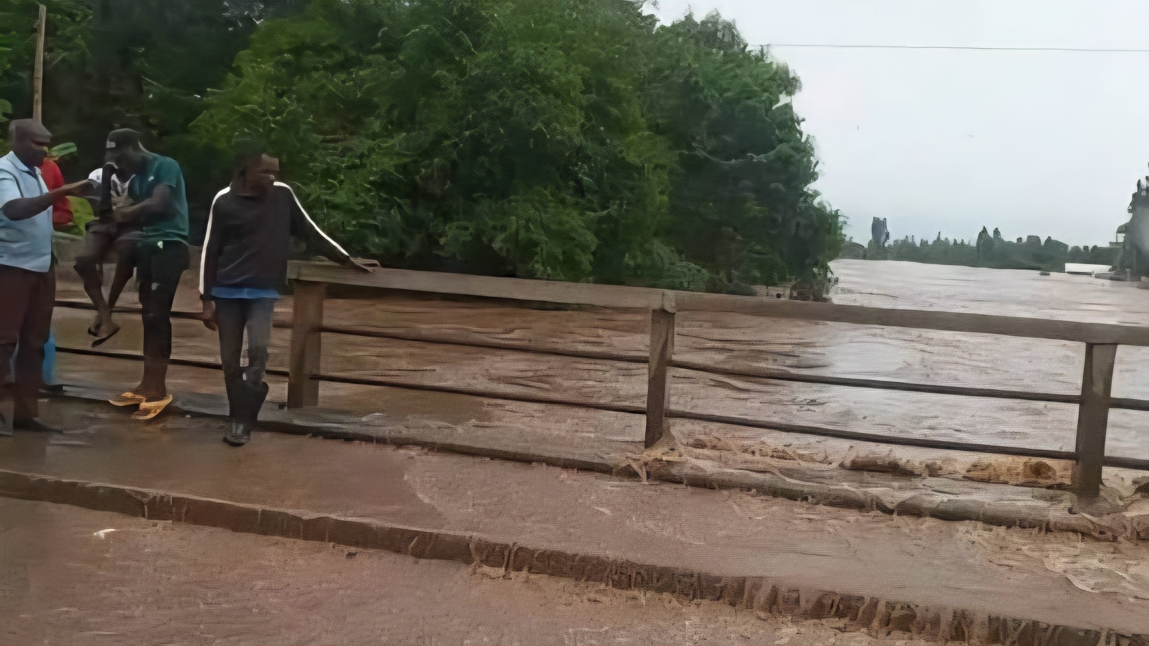

Authorities have issued an emergency advisory for motorists plying the Kericho–Awasi–Kisumu Road after River Nyando burst its banks, sending heavy discharge across the Ahero Bridge. The overflow has rendered the primary artery between Nairobi and Kisumu nearly impassable, creating significant risks for those attempting to navigate the submerged sections.
Government Spokesperson Isaac Mwaura, speaking on behalf of the Multi-Agency Emergency Response Secretariat, confirmed that water levels continue to rise. The situation is particularly volatile due to the speed of the currents and the volume of water spilling onto the roadway.
Traffic to and from Kisumu has been officially redirected. Motorists are now required to divert at Timboroa and travel through Lesos, Kapsabet, and Chavakali to reach their destinations. This diversion adds considerable time to the journey but is deemed necessary to prevent vehicles from being swept away by the fast-moving floodwaters.
The Nyanza Region Traffic Commandant, Dr. Fredrick Ochieng, noted that the overflow has already triggered major traffic snarl-ups on both sides of the bridge. He warned that the risk profile increases sharply after sunset. Assessing the depth of the water and the structural integrity of the submerged road surface becomes nearly impossible in the dark, making night travel through Ahero extremely hazardous.
The flooding at Ahero is part of a wider humanitarian crisis as heavy rains persist across the country. Data from the Ministry of Interior indicates that at least 81 people have died nationwide due to the ongoing weather patterns. In Kisumu County, the rising waters have not only affected transport but have also displaced hundreds of households in low-lying areas such as Kakola and Ombaka.
Emergency teams, including the Kenya Red Cross and the Kenya Coast Guard Service, remain on high alert in the region. There is particular concern for residents in East Kano and areas bordering the Awach and Nyalbiego streams, where the risk of flash flooding remains high.
Engineering assessments of the Ahero Bridge and the surrounding road infrastructure will likely only be possible once the water recedes. For now, the focus remains on safety and enforcement of the diversions. President Ruto’s administration has assured the public that the multi-agency team is monitoring the situation around the clock to provide updates on when the route might be reopened.
The locals have been urged to avoid the bridge area entirely, as the strength of the flowing water poses a threat even to pedestrians. Until the water levels stabilize, the Kapsabet route remains the only viable link for heavy transport and passenger vehicles moving through the Western region.
Comments (0)
Leave a Comment
No comments yet. Be the first to share your thoughts!