
The Nairobi City County government has officially earmarked the Westlands zone for a comprehensive new development framework, aimed at addressing the mounting pressures of urban congestion and unregulated growth. This initiative comes under the Local Physical and Land Use Development Plan, which is designed to align the area's rapid expansion with the broader Nairobi Integrated Urban Development Master Plan.
Originally established as an upscale, low-to-medium-rise residential district with strictly controlled commercial activity, Westlands has seen a radical shift in its built environment over the last decade. The neighborhood is now defined by a dense skyline of high-rise apartments, corporate towers, and expansive mixed-use complexes. City Hall officials note that these emerging urban forms, while driven by market demand and metropolitan growth, have fundamentally altered the character of the zone.
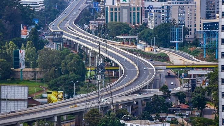
The proposed planning scope will cover spatial planning, socio-economic analysis, and environmental management. A primary objective for the county is to manage the densification of Westlands, where the existing infrastructure and utilities are struggling to keep pace with the influx of corporate tenants and residential developers. The county seeks to establish a framework that balances this high-growth trajectory with the actual capacity of roads, sewers, and power grids.
Current data from the 2019 Kenya Population and Housing Census places the Westlands sub-county population at 308,854. With a population density of approximately 3,170 people per square kilometer, the strain on local services has become a critical point of concern for urban planners. The planning zone encompasses several key wards, including Kitsuru, Parklands, Highridge, Karura, and Kangemi.
City Hall maintains that the current development dynamics in Westlands highlight an urgent need for a structured framework. Without this intervention, the county warns that environmental sustainability and metropolitan planning objectives could be compromised. The new plan is expected to provide clear guidelines for developers on permissible heights and land use, ensuring that the corporate environment remains viable while protecting the quality of life for residents.
The shift toward a more structured planning approach follows years of complaints regarding traffic gridlock and frequent utility outages in the area. By integrating social and economic analysis into the new physical plan, the county intends to create a more resilient urban hub that can support its status as a premier commercial node without collapsing under its own weight.
Comments (0)
Leave a Comment
No comments yet. Be the first to share your thoughts!