
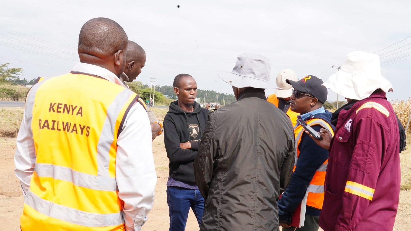

The national railway operator has advanced technical preparations for a major infrastructure corridor. Kenya Railways conducted a parcel boundary identification exercise within Narok County.
This field operation supports the proposed Naivasha to Kisumu to Malaba Standard Gauge Railway Project. Survey teams mapped out land corridors required for the ambitious national transport undertaking. Field officers worked directly with local stakeholders during the initial site assessment.
Additional logistical units were deployed to ensure comprehensive geographic coverage across undulating terrain. Technical teams coordinated closely with regional administrators to verify historical land registry records on the ground.
Extended reconnaissance efforts allow planners to anticipate potential topographical challenges before heavy earthmoving equipment arrives. Comprehensive site evaluations remain mandatory under national infrastructure development guidelines.
Technical mapping remains a critical phase prior to civil engineering works. Accurate boundary identification prevents future land disputes along the designated infrastructure route.
Engineers rely on precise GIS data to finalize alignment maps before construction funding is disbursed. President Ruto previously emphasized the strategic value of extending modern rail freight services toward regional borders.
Regional trade integration depends heavily on reliable heavy capacity transit networks. Geotechnical sampling runs concurrently with boundary mapping to evaluate soil stability along the proposed railway path.
Structural engineers analyze sub-surface compositions to determine optimal bridge placements and embankment designs.
Environmental impact assessments also incorporate data gathered during these preliminary site visits. Mitigating ecological disruptions requires detailed baseline measurements of local flora, fauna, and water resources.
Neighboring communities received briefings regarding land allocation protocols. Officials documented existing structures and economic activities situated within the mapped corridor.
Public participation frameworks guide the land acquisition process for public utility projects. Stakeholder engagement helps mitigate delays once heavy machinery arrives on site. Local leaders urged residents to cooperate fully with technical evaluation teams.
Town hall meetings provided a platform for residents to raise compensation concerns and relocation queries. Transparent communication channels established by project managers help alleviate community anxieties regarding land tenure security.
Independent valuers work alongside state officials to document property assets fairly and transparently. Record-keeping accuracy protects both individual landowners and the executing agency from protracted legal disputes.
Freight transport efficiency drives the expansion agenda across the East African economic zone. Moving cargo via rail reduces heavy commercial traffic wear on national highways. Heavy commercial trucks currently dominate transit routes between coastal ports and landlocked neighbors.
Upgrading logistical corridors lowers operational expenses for manufacturers and wholesale distributors. Government agencies coordinate closely to align infrastructural blueprints with regional economic goals. Multimodal transport integration connects inland container depots directly with primary industrial hubs.
Shifting heavy freight from asphalt roads to steel tracks significantly lowers long-term national road maintenance expenditures. Industrial stakeholders frequently cite predictable transit schedules as a primary commercial advantage of rail logistics.
Cross-border commerce stands to benefit immensely once seamless rail connectivity reaches neighboring landlocked economies.
Further technical assessments will continue across adjacent administrative zones in coming weeks. Survey data collected during these field operations feeds directly into final engineering designs. Planners anticipate releasing comprehensive reports once mapping milestones conclude later this year.
Funding negotiations involve multiple international partners committed to regional integration. Transport ministries maintain that modern rail connectivity underpins long-term industrial growth strategies.
Specialized mapping units prepare to move into neighboring counties as current Narok phases wind down. Inter-agency committees review preliminary survey drafts weekly to ensure compliance with national spatial planning frameworks.
Financial advisors model various public private partnership structures to optimize capital allocation for subsequent construction phases. Long-term economic viability projections continue to guide every milestone of the expansive railway rollout.
Comments (0)
Leave a Comment
No comments yet. Be the first to share your thoughts!