
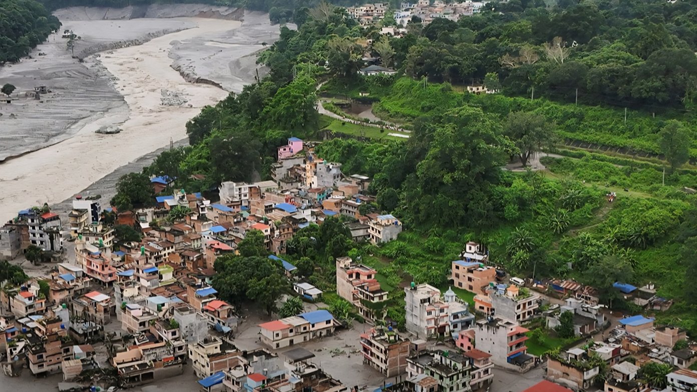

Catastrophic flash flooding along the border between China and Nepal has highlighted growing risks from natural disasters across the Himalayas. The event comes as nations across the region rapidly expand their high-altitude infrastructure footprint.
Heavy flooding along the Bhote Koshi river swept through border settlements, carrying away vehicles, trees, and civilian structures. Aerial observers reported water waves reaching five to six meters high as the torrent moved downstream from China into Nepal.
Emergency search and rescue operations were launched using helicopters to extract stranded individuals from rooftops across affected villages.
The disaster affected key cross-border transit points along the frontier. A mudslide damaged China's Gyirong Port, a critical commercial overland gateway connecting the two nations. In response, Chinese leader Xi Jinping ordered all-out search and rescue efforts to locate missing persons and manage the border damage.
Preliminary assessments by officials in Nepal indicated that an earthquake triggered a major landslide upstream. The resulting debris temporarily dammed the Bhote Koshi river before breaking, sending a massive wall of water downstream.
Nepal lies in a rapidly warming region home to thousands of glaciers that continue to melt and destabilize under shifting climatic conditions.
The high-altitude terrain presents unique engineering challenges for civil engineers building roads, bridges, and hydroelectric power plants. High altitude, steep gradient slopes, fragile geological formations, and unpredictable weather severely complicate long-term structural integrity.
Ground instability combined with intensified rainfall patterns increases structural risks across regional transport corridors.
Infrastructure development in the region includes extensive road corridors, border post facilities, and energy installations designed to improve trade linkages. However, natural hazards such as glacial lake outburst floods, landslides, and seismic activity regularly impact these civil engineering assets.
Regional authorities continue emergency disaster relief efforts while evaluating the damage to critical border crossings.
Engineers face increasing demands to integrate adaptive geological site assessments and disaster mitigation design standards into future high-altitude projects.