
The Kenyan government has released findings from a nationwide airborne geophysical survey that identified approximately 970 mineral signals across various regions. This data provides a technical map for future exploration and confirms the presence of diverse natural resources within the country's borders.
According to the survey data, the identified signals suggest the presence of several high-value commodities. The list of potential deposits includes:
* Gold
* Rare earths
* Lithium
* Graphite
* Copper
* Nickel
* Beryllium
* Iron ore
* Uranium
* Thorium
This technical mapping exercise marks a shift in how the state manages its extractive potential. By identifying these occurrences, the Ministry of Mining, Blue Economy and Maritime Affairs aims to transition from general speculation to targeted ground truthing.
Earlier reports from the Ministry indicated that these signals are distributed across at least 15 counties. Regions such as Kitui, Embu, Tana River, Kilifi, and Isiolo are among those highlighted in the initial data sets. Other areas with significant readings include Makueni, Taita Taveta, Kwale, and West Pokot.
President Ruto has recently emphasized the need for structural reforms to ensure the country extracts maximum value from these findings. One primary focus is the restriction of raw mineral exports, with a preference for local processing to build industrial capacity.
The government has also established a framework for sharing mineral royalties. Under the current regulations, the national government receives 70 percent of revenues, while 20 percent is allocated to county governments. The remaining 10 percent is designated for local communities.
Industrial players and infrastructure developers are monitoring these developments closely. The potential for large-scale mining operations typically necessitates significant investment in heavy transport corridors, specialized power grids, and housing for labor forces.
For the construction sector, the discovery of iron ore and copper is particularly relevant. Local sourcing of these materials could eventually impact the supply chain for structural steel and electrical components used in major building projects.
Exploration firms are now expected to utilize this geophysical data to apply for prospecting licenses. The lifting of a previous moratorium on mining rights has already led to an increase in applications from both domestic and foreign investors.
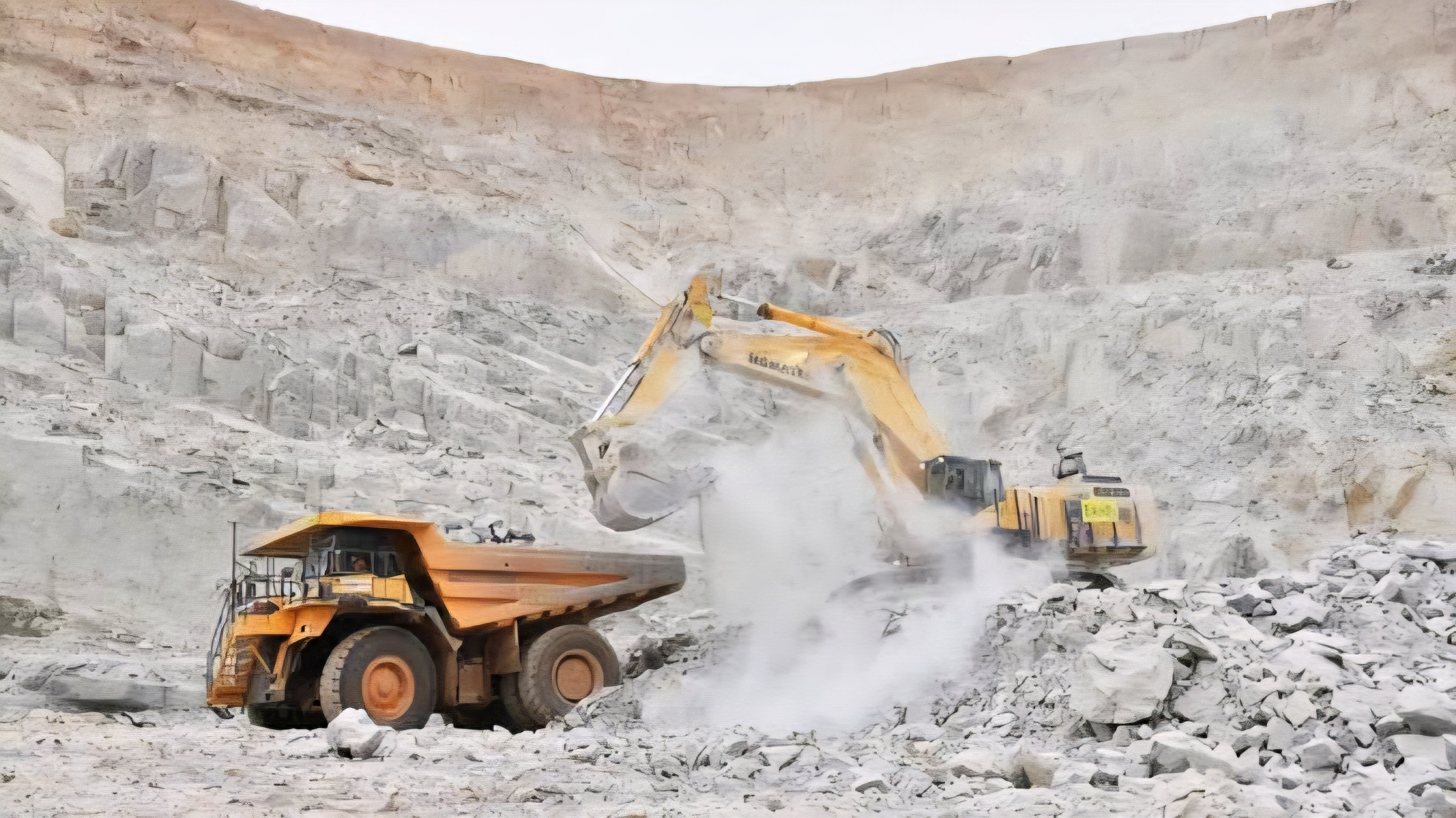
The next phase of the program involves field teams visiting the identified coordinates to verify the depth and commercial viability of the signals. This process, known as ground truthing, is necessary to convert a geophysical signal into a proven mineral reserve.
Comments (0)
Leave a Comment
No comments yet. Be the first to share your thoughts!